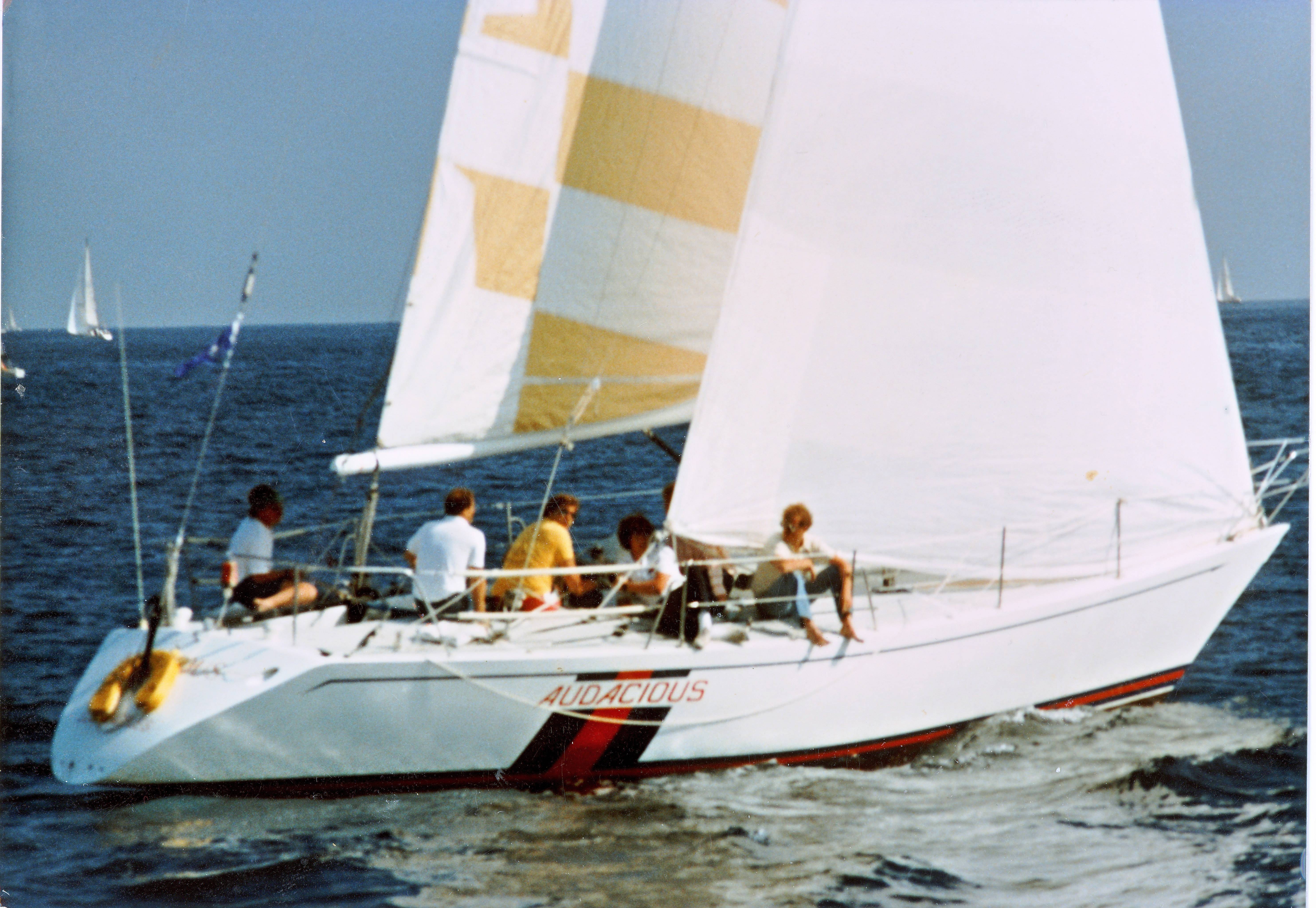
In 1981, I sailed my 40 foot sailboat to Hawaii in the Transpacific Yacht Race. That year some large yachts had what were called “Sat Nav ” receivers aboard to track a system of satellites that required continuous tracking and took quite a bit of electrical power. It is now called “Transit” or “navSat”
Thousands of warships, freighters and private watercraft used Transit from 1967 until 1991. In the 1970s, the Soviet Union started launching their own satellite navigation system Parus (military) / Tsikada (civilian), that is still in use today besides the next generation GLONASS.[10] Some Soviet warships were equipped with Motorola NavSat receivers.
My small sailboat could not use such a system. It drew about an amp an hour, far too great a drain on my battery. For that reason I used a sextant and sight tables like these, which are published for the latitudes to be sailed.
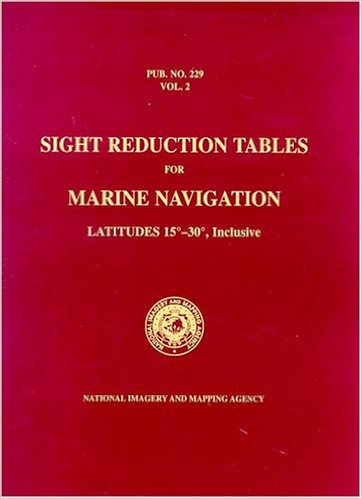
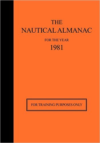
That volume is published for latitudes 15 degrees to 30 degrees, which are the ones we most sailed. Hawaii is at about 20 degrees north and Los Angeles is 35 degrees north. The sight tables provide a set of observations that can be compared with an annual book called a “Nautical Almanac.” As it happens, the Nautical Almanac for 1981 is used for training and is still in print.
The third component, besides the sextant, of course, is a star finder, like like this one, to aid with navigational stars.
The whole system is called Celestial Navigation.
The first thing one needs is an accurate clock. This is the reason why sailing ships need a chronometer in the 18th century.
Harrison solved the precision problems with his much smaller H4 chronometer design in 1761. H4 looked much like a large five-inch (12 cm) diameter pocket watch. In 1761, Harrison submitted H4 for the £20,000 longitude prize. His design used a fast-beating balance wheel controlled by a temperature-compensated spiral spring. These features remained in use until stable electronic oscillators allowed very accurate portable timepieces to be made at affordable cost. In 1767, the Board of Longitude published a description of his work in The Principles of Mr. Harrison’s time-keeper.
The invention is the subject of an excellent books titled, Longitude, by Dava Sobel. In 1981, I used a newly available device called a digital watch, invented by Texas Instruments in 1975. It was very accurate and easy to use. My sextant was made by Weems and Plath, and looks much like this one.
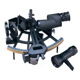
It was, of course, much less expensive 35 years ago. I had a second backup plastic sextant in case the metal one was damaged.
In addition to the sextant, I carried a Loran C receiver which was useful for coastal navigation but not for the ocean beyond about 400 miles. It was useless coming into Hawaii for some reason. Perhaps the transmitters face the wrong direction. I had hoped it would be of some use with the finish area but it was not. I had also used a system called Omega, which was supposed to be useful over longer distances but it was never of any use.
How did we use the sextant ? Mainly it was for latitude. I had previously done a number of Mexican races to Manzanillo and Mazatlan in which latitude by noon sight was useful. The Mexican races were run in the winter when the sun was low. This made noon sights easy as the maximum elevation above the horizon would be no more than 60 degrees. On a small boat, the problem of sun sights is keeping the steady position of the sextant. When the sun is relatively low, this is minimized. On December 21, the sun is at 22 degrees south latitude. IF I am at 30 degrees north latitude, for example, the sun at noon will be about 50 degrees above the horizon.
Unfortunately, Hawaii is at 20 degrees north and much of the crucial days at the final stage of the Transpac Race are run about that latitude and in July when the sun is about 20 degrees north. That means that it is exactly overhead and the ability to take a noon sight is quite difficult. In fact, it is pretty useless.
What is useful in that situation is longitude. This will tell us how far we have come. In addition to celestial navigation, we have what is called a log attached to the knot meter which records our distance sailed. This is quite useful as long as we sail in a straight line. It does not tell us how far we are from our destination. The way to determine longitude in this situation is to use the digital watch as a chronometer and the sextant to measure elevation of the sun above the horizon. The sun rises in the east and passes overhead at noon. The position at 10 AM and 4 PM are very useful in telling us our longitude.
The method of plotting position is using Plotting Sheets once offshore. They have grid lines but there are no landmarks so the latitude and longitude lines are arbitrary. Of course longitude varies as the latitude changes but for our purposes, it does not matter much. The Nautical Almanac is used to calculate the sun’s elevation at the instant of the sight and use this to plot longitude. This was very inaccurate before good chronometers so sailing ships tended to sail “Latitude Lines” or what was called Latitude Sailing, which is probably how Columbus discovered America. He knew the latitude of China and assumed, wrongly, that the earth was much smaller than it is. By sailing north or south to the latitude of the landmark one was seeking, you could sail the latitude line until you hit land. Longitude was less important, unless of course you were wrong about the distance,
In our race to Hawaii , the sky was clouded over almost every night so star sights were very difficult and I never could get three stars in one evening sight. I was able to shoot the North Star near our finish and that helped to bring us in on the right latitude line for Oahu and Diamond Head.
The video shows how we set the 1.5 ounce spinnaker as evening set in and the wind picked up. You can see that, between the time we began to change from the 3/4 ounce and when it was complete, the wind was picking up rapidly. Also the sky is over cast with trade wind clouds gathering. Every day was sunny from about 9 AM to about 6 PM when the clouds would appear. By the time we had a sky dark enough to see a horizon for the sextant, the sky was over cast. The same was true of morning when the clouds would not dissipate until long after sunrise. Finally, I was able to see Polaris thorough a hole in the overcast about a day before the finish and that helped bring us in on the right line. Many boats get south toward Maui and have to jibe and sail north. We came down from north of Oahu, following the wind which backs as we get west of the Pacific High. To avoid running dead downwind, we kept heading north until it was time to jibe for the finish.

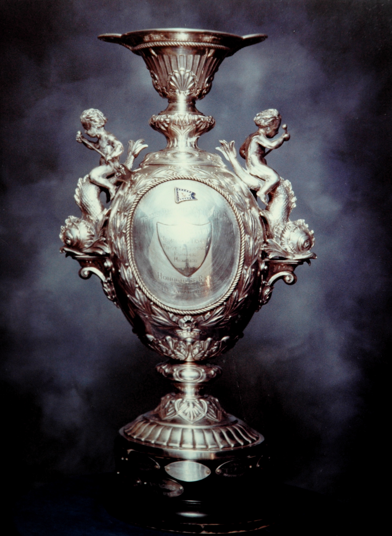
The final word. We missed winning over all by 9 minutes. I can’t find a photo of the overall trophy that was awarded to the first corrected time that year. Our second overall trophy is below.
Tags: navigation., sailing
[…] The video won’t play on this site but I have it on my own blog at here. […]